
Walk North Little Rock Streets
A North Little Rock address search works best as a chain, not as one query. The first public record usually names an assessed owner. Later steps test whether that name belongs to the right parcel and whether any dated source links a person to the address. Owners and occupants are not the same group. A trust, estate, company, or public body can own a parcel, while voter and directory records omit many people. Keep the date and source with every result.
- Enter the full address in the Pulaski County Assessor search. Save the parcel number, situs address, owner, mailing address, and legal description.
- Open the map link and browse nearby parcels. Check road labels and city or tax boundaries before treating the result as North Little Rock.
- Use the owner and legal description in the Pulaski real-estate index. A deed can confirm the recorded transfer into the present owner.
- Consult voter material only as a partial, dated source. A voter match does not account for every person at an address.
- For an earlier year, ask the local libraries for a reverse or criss-cross directory, which arranges listed occupants by address rather than by surname.
The path is address → parcel → legal description → deed party → dated occupant evidence. If a street suffix or direction fails, try the number and core street name, then confirm the match from cross streets and the map.
North Little Rock Parcel Search
The Pulaski County Assessor property search is the strongest first stop for a current North Little Rock address. It identifies assessment ownership and provides the parcel key needed for mapping and deed work. The owner mailing address must be read apart from the situs, or physical property address. A match between the two may support owner occupancy, especially when a homestead indicator appears, but it does not prove who else lives there.
| Search field | Input | Required | Useful detail |
|---|---|---|---|
| Owner name | Text | No | Try surname, company name, and variants |
| Property address | Text | No | Normalize suffixes and directions |
| Parcel number | Text | No | Best exact match once known |
| Subdivision or legal description | Text or list when offered | No | Bridges the parcel to recorded land documents |
| Search or Clear | Button | Not applicable | Run criteria or begin again |
A parcel result can also show lot and block, values, tax year, building details, transfer references, and a map link where those fields are populated. That detail makes the by-address search useful for property research, but never turns an assessment card into a household roster.
The official Pulaski County parcel-search screen shows the entry point used for this address-first method.

The search controls connect a street address to a stable parcel number, which is safer than relying on a name alone.
North Little Rock GIS Street View
The assessor's records and mapping services add spatial context. Open the target parcel, zoom until boundaries are clear, then pan down the street and click parcels one at a time. Roads, aerial images, municipal or tax lines, floodplain, zoning, and district layers may be available, depending on the live viewer. These are planning and assessment aids, not a survey.
GIS also exposes a key geography issue. A postal ZIP, the North Little Rock city line, and a Pulaski County parcel boundary answer three separate questions. Confirm the parcel rather than assuming the postal city settles jurisdiction. For a whole named street, manual browsing is the honest method when the viewer offers no radius export.
The county's assessor records and GIS launch page shows the official choices for parcel data and mapping.
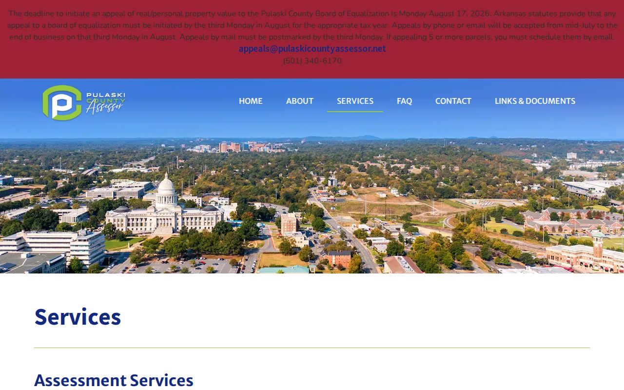
The service menu helps distinguish a parcel card from the map view needed to inspect the rest of a North Little Rock block.
Note: GIS boundaries help place a parcel, but a legal survey controls a disputed land boundary.
North Little Rock Street Directory Records
No single North Little Rock address roll contains all residents. These official and library sources overlap in useful ways, and each has a clear limit.
| Address source | Record keeper | What the match adds | Access route |
|---|---|---|---|
| Parcel card | Pulaski County Assessor | Owner, mailing and situs addresses, parcel and legal description | Free web search, counter, or raw data |
| GIS parcel map | Assessor and planning layers | Adjacency and jurisdiction context | Free interactive map |
| Deed, mortgage, or plat | Pulaski Circuit and County Clerk | Parties, legal land description, recorded chain | Web from 1994; courthouse research to 1819 |
| Tax account | Pulaski County Treasurer | Tax status and owner or account reference | Online or 501-340-6040 |
| Permit or code file | North Little Rock Planning | Project address, applicant, contractor, and work | Posted forms, direct request, or Arkansas FOIA |
| Reverse directory | Roberts or Laman library | A listed occupant or business in one publication year | Library shelf or licensed database |
The parcel number links assessment and map records. The legal description then ties the parcel to deeds and plats. A street name connects permits and a dated reverse directory, while voter records operate under separate access and privacy rules.
Deeds Along North Little Rock Streets
The Pulaski County Real Estate Department records deeds, mortgages, liens, leases, plats, and other land documents. Its online search begins in 1994. Deeds are indexed by parties and document details, not reliably by street address, so the assessor supplies the bridge: present owner, legal description, parcel, and an estimated transfer clue.
Search the current owner as a grantee, the party who received title, near the transfer date. Compare the deed's legal description with the parcel result. The grantor is the party who transferred the interest. Search that seller as an earlier grantee to move backward. Preserve instrument number, book and page, dates, and name variants at every step.
- Parcel
- The assessor's distinct land-unit key.
- Situs address
- The physical taxable location, separate from the owner's mailing address.
- Plat
- A recorded map that lays out lots, blocks, streets, or easements.
- Criss-cross directory
- A dated directory organized from address to listed occupant or telephone.
The clerk's scanned records extend to 1819, but the older chain shifts to courthouse work. That 175-year gap between scan depth and the public web start is a defining North Little Rock records fact.
North Little Rock Permit Records
North Little Rock permits can date work at an address and name an owner, applicant, or contractor. The city's permit matrix routes building, remodeling, and sign work to Planning. The Planning forms and resources include applications, zoning material, maps, and annual statistics. Forms can capture project address, parcel or legal description, proposed work, valuation, signatures, and attachments.
The city does not publish a stated start year for a unified permit index. For a complete address history, contact Planning at 501-975-8835 or GIS at 501-975-8875 and ask for an existing permit ledger or data export by address and date range. A focused Arkansas Freedom of Information Act request may obtain an existing electronic record, but it cannot force staff to create a resident profile.
Argenta Historic District exterior projects offer another address-keyed stream. Work within the district boundaries requires Historic District Commission review, so certificates of appropriateness may add plans and property context beyond ordinary permits.
North Little Rock Voters by Street
Arkansas VoterView and voter information serve different tasks. VoterView is a person-facing registration and polling check that asks for first name, last name, date of birth, and Pulaski County. It is not a street browser. The Secretary of State also distributes statewide registration and vote-history files through a formal request process, while the Pulaski County Clerk administers local elections.
A lawfully released file may include name, residence or mailing address where permitted, status, precinct, districts, registration date, and election participation. It never reveals ballot choices. Protected fields and protected addresses stay out under Arkansas Constitution amendment 51. A street sort also misses minors, nonvoters, ineligible residents, recent movers, and confidential entries.
Key limit. An assessment owner or voter match is evidence tied to a date, not a complete list of people living at a North Little Rock address.
Historic North Little Rock Place Keys
A historic street search can fail even when the record survives. Argenta was annexed by Little Rock in 1890, recovered by North Little Rock in 1904, became the city's official name in 1906, and returned to North Little Rock in 1917. Baring Cross joined in 1905. Levy and many other areas joined in 1946. Search the government name and jurisdiction in force for the year.
Older records may place the same area under Argenta, Little Rock's Eighth Ward, North Little Rock, or a separate community such as Levy, Rose City, Dixie, Baring Cross, or Park Hill. The modern civic address may not appear unchanged. Compare cross streets, the deed's legal description, a directory street guide, and the 1892 Sanborn atlas where its sheets fit.
Urban renewal later removed much of the old downtown fabric. A vanished address should be mapped from a historic plat or Sanborn sheet, not forced onto a modern parcel. Postal ZIP lines and city limits add another mismatch. The North Little Rock ZIP code directory handles that postal layer without treating it as a land boundary.
Note: The historical name printed on the source is part of the citation and should not be silently modernized.
North Little Rock Reverse Directories
A reverse directory answers the address question directly for one publication year. It lists the printed occupant or telephone in street order. Roberts Library and the Butler Center, at 401 President Clinton Avenue, and Laman Library are the local research channels. Ask staff for North Little Rock, Argenta, Greater Little Rock, telephone, and criss-cross volumes by exact year. No official online shelf list confirms every local reverse-directory year, so availability must be checked rather than guessed.
These volumes are most useful after the parcel and deed chain establishes the right location. They can show a listed occupant who was not the owner, but skipped canvasses, unlisted households, segregation, and spelling errors create silence. The collections and entry abbreviations are treated in depth on the North Little Rock city directory page.
North Little Rock Offline Record Paths
A portal failure is not the end of a North Little Rock address search. The Pulaski County Assessor counter is at 201 S. Broadway, Suite 310, and staff can help interpret a parcel at 501-340-6170. The Real Estate Department is in Room 102 at 401 W. Markham and answers process questions at 501-340-8433. Older land research uses two public computers booked for two-hour Monday through Thursday slots. Appointments are made online, not by phone or email.
At the courthouse, use old grantor and grantee books, deed books, microfiche, plats, and scanned images that are not on the public site. For street history, Roberts and Laman libraries add directories, maps, papers, photographs, and newspapers. Arkansas State Archives is the broader fallback for Pulaski County material. Contact the record keeper before travel and ask about the live schedule, exact record series, copy rules, and any retrieval delay.
City administrative data follows a different route. Check posted permits, zoning files, minutes, and code material first. Then ask the North Little Rock Clerk, Planning, or Code Enforcement for a defined existing record by address and date range. Arkansas FOIA generally allows inspection or actual reproduction-cost copies, subject to exemptions.
North Little Rock Street Directory Limits
An address search cannot establish every occupant. Assessor records identify assessment ownership. Deeds prove recorded interests, not daily residence. Permits name people tied to work. Voter information is partial and protected. Reverse directories reflect one canvass and may omit a household. Utility customer lists are not a public substitute, and federal law limits motor-vehicle personal data.
Use the record for the question it can answer. Verify a seller through the current parcel and recorded deed. Study family or house history through dated deeds, maps, directories, census schedules, and obituaries. Do not publish sensitive identifiers found in an image. If a recorded document appears to expose an identifier improperly, report the instrument and legal basis to the Pulaski County Clerk instead of copying it.
Lawful use. North Little Rock address records are for lawful personal and civic research. Arkansas law prohibits stalking, harassment, threats, impersonation, and related misuse.