
North Little Rock ZIP Areas
Four main delivery areas orient most street research, while five other North Little Rock-associated codes have PO-box, special, or unique uses. The neighborhood descriptions below are practical guides, not official line-by-line boundaries. Confirm each address through USPS and then check Pulaski County GIS when municipal status matters.
| Postal Code | Areas Covered | Post Office | Notes |
|---|---|---|---|
| 72114 | Downtown, Argenta, riverfront, Baring Cross, and inner west/east areas | North Little Rock delivery area | Historic Argenta place names matter |
| 72116 | Park Hill, Lakewood, and northeast-central areas | North Little Rock delivery area | Reaches toward Sherwood; check parcel city line |
| 72117 | Eastern North Little Rock, Rose City-industrial, and eastern Pulaski areas | North Little Rock postal name commonly used | Postal reach can exceed city assumptions |
| 72118 | Levy, Amboy, Burns Park, and western or northwestern areas | North Little Rock delivery area | Broad boundary-edge geography |
| 72115, 72119 | PO-box or special use | Verify recipient with USPS | Not normal residential geography |
| 72124, 72190, 72199 | Special or unique use | Verify current assignment with USPS | Do not map as ordinary neighborhoods |
USPS does not publish an official neighborhood-by-neighborhood narrative or a local realignment chronology in the captured public material. That gap matters. The North Little Rock ZIP code directory should guide the first filter, while the official lookup and parcel map decide the address-level answer.
North Little Rock ZIP 72114
72114 covers the older urban core around downtown and Argenta, with riverfront, Baring Cross, and inner west and east areas in its practical reach. Historic research here needs both a postal check and a place-name check. Argenta was annexed by Little Rock, reclaimed, briefly became the official city name, and then returned to North Little Rock. A modern ZIP filter cannot repair that old catalog shift.
The district's river, bridge, rail, mill, and commercial past also shapes its records. Directory and map entries may use Argenta or Little Rock Eighth Ward. Urban renewal later removed much downtown fabric, so an old street point can lack a modern parcel match. Use USPS for today's mail label, GIS for the current parcel, and historic maps for the former block.
North Little Rock ZIP 72116
72116 is the practical code for Park Hill, Lakewood, and northeast-central residential and commercial areas. Its reach approaches Sherwood, which makes the city boundary a parcel question rather than a guess based on the postal city line. Park Hill and Lakewood also represent later growth than the old Argenta core, so the available directory, plat, permit, and map evidence changes by era.
A name in a 72116 mailing field does not say whether the person owns the parcel or lives there. Assessment data separates the physical situs from the tax mailing address. Open the map link and inspect the municipal layer when North Little Rock jurisdiction controls the next record request.
Note: A North Little Rock postal label near Sherwood does not settle which city keeps the local administrative record.
North Little Rock ZIPs East and West
72117 orients east-side work through Rose City-industrial areas and farther eastern Pulaski geography. A North Little Rock postal designation can stretch beyond what a reader assumes is the municipal edge. Searchers should avoid treating the entire code as one city population or one neighborhood.
72118 covers a broad western and northwestern frame that includes Levy, Amboy, and Burns Park. These places have distinct local identities and record histories. Baring Cross joined North Little Rock in 1905, while Levy, Rose City, Dixie, Park Hill, Fort Roots, and other areas entered during the large 1946 expansion. Postal geography and annexation history overlap, but they are not the same system.
Special North Little Rock ZIP Codes
72115 and 72119 are tied to PO-box or special postal use. Codes 72124, 72190, and 72199 are special or unique North Little Rock-associated assignments in the research inventory. None should be presented as an ordinary street neighborhood without a current USPS check.
This is the main ZIP quirk in North Little Rock. A table of codes can look like a list of residential zones even when some rows route a specific institution or box service. The postal directory keeps those codes visible because they may appear in a document, but it marks their limits so they are not mistaken for resident rolls.
Verify a North Little Rock ZIP
The official USPS ZIP Code Lookup verifies an entered address or city query. Use the full street details and compare the returned preferred city and code with the source record. If the document is old, retain the code as historical evidence rather than silently replacing it with a current result.
The USPS search interface used for North Little Rock looks like this:
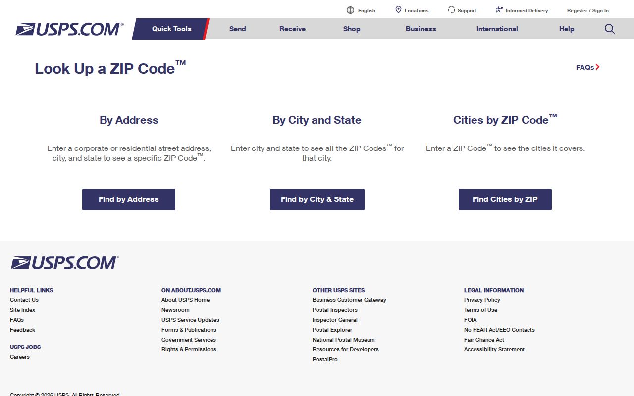
The result answers how mail is routed. Follow with the Pulaski County Assessor mapping services to test parcel and city geography.
Narrow North Little Rock Residents
Official sources do not all expose the same filter. The assessor can return a situs or mailing ZIP on a parcel result, but its public search is documented as stronger by owner, address, or parcel than by a broad postal sweep. GIS may allow a postal layer if enabled. A lawfully obtained statewide voter data product may be sorted by residence ZIP, but it remains incomplete and protected fields stay excluded.
- Verify the address and postal code through USPS before using it as a record filter.
- Search the Pulaski County Assessor by owner, street address, or parcel, then note both situs and mailing codes.
- Open GIS and inspect the postal, municipal, road, and parcel layers that are enabled for that location.
- For voter research, use VoterView for the registrant's own confirmation or request a lawful SOS data product and preserve all exclusions.
- Once the code narrows to a street, move to the North Little Rock street directory for parcel-by-parcel work.
A voter extract is not a household roll. It omits nonvoters, minors, ineligible residents, recent movers, and protected entries. Likewise, a parcel owner is not proof of every occupant. The result should state exactly what the source confirms.
The Arkansas SOS describes separate voter-registration, vote-history, and combined data products delivered as CSV files. A requester supplies contact details, the desired product and geography or format, acknowledgments, signature, and date. The released file can be filtered after receipt, but Amendment 51 protections and confidential addresses still apply. For an online mismatch, call SOS voter services or the Pulaski County Clerk rather than treating no result as proof that a person is absent.
North Little Rock ZIP Data Fields
The captured portal research does not document a public assessor form with a reliable ZIP-wide filter. It does identify the fields that carry postal evidence once a parcel is found. This distinction prevents a false claim that the portal can produce every person in a code.
| Official field or mode | What it answers | How to use it |
|---|---|---|
| Street address | Finds a candidate parcel | Try the street without its suffix if formatting fails |
| Owner name | Finds assessed ownership candidates | Compare initials, entities, and parcel place |
| Parcel number | Opens the exact assessment key | Best bridge from GIS to parcel card |
| Situs ZIP | Postal code at the taxable site | Do not confuse with city limits |
| Mailing ZIP | Where the tax notice goes | May differ from the physical parcel |
| GIS postal layer | Visual postal context if enabled | Confirm against parcel and municipal layers |
North Little Rock Planning/GIS handles official addressing questions within the city at 501-975-8875. Pulaski County Planning is the better route for parcels outside the city line.
Pulaski County also offers raw assessor data beyond the consumer parcel card. That can support a lawful ZIP-scale study when the assessment year and field meanings are preserved. Ask the Assessor at 501-340-6170 about the current export and parcel interpretation. A raw row remains an assessment record, not a resident statement.
North Little Rock Postal Boundaries
USPS routes mail. North Little Rock governs municipal services and records. Pulaski County assesses parcels. These three systems can draw different lines around the same address. Some North Little Rock mailing names appear near or beyond the municipal edge, while a city parcel can use another preferred postal city. A ZIP-wide count therefore cannot stand in for city population.
- ZIP and ZIP+4
- The five digits set a broad mail route; the added four narrow delivery within it.
- PO-box code
- A code used for post-office boxes rather than a normal map of street households.
- Unique code
- A special assignment for one large recipient or postal purpose, not a neighborhood.
- Carrier route
- The delivery path within postal geography, which does not establish a city boundary.
Annexation Shaped North Little Rock
North Little Rock grew from 21,137 people in 1940 to 44,097 in 1950 after major annexations. The change reflects new city land as well as household growth. By 2020, the city held 64,591 people across 52.33 square miles, spanning riverfront industry, early railroad districts, mid-century neighborhoods, and boundary-edge landscapes.
That expansion explains why a postal code, historic community, and city record office can disagree. A 1940 Levy source and a later North Little Rock source may describe the same place under different civic labels. Preserve the record date, then compare the annexation era, postal result, and parcel boundary. The North Little Rock postal directory is most useful when it keeps those layers distinct.
School zones, utility districts, flood layers, and zoning maps may divide the same broad postal area in still other ways. Those tools answer service or land questions. They do not identify every North Little Rock resident. Label each boundary by the office and date that produced it.
Note: Population change across the 1940s reflects annexation as well as moves and births within the existing city.